
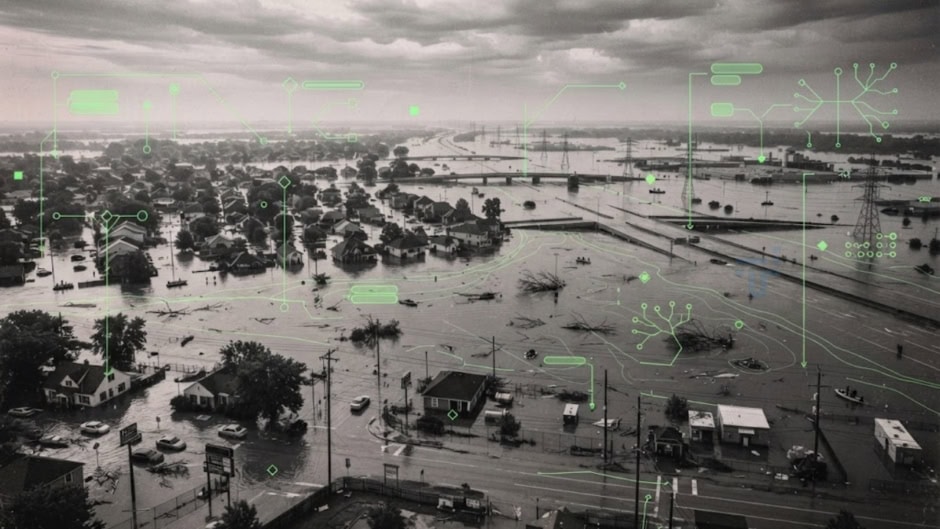
NASA researchers have developed a machine learning system just for detecting flash floods. This system analyzes satellite data and atmospheric moisture patterns, allowing meteorologists to issue warnings in near real-time.
NASA calls it ‘TACLS’, which stands for Transient Artifact and Continuous Learning System. It automatically identifies unusual atmospheric moisture concentrations. These concentrations indicate imminent flooding threats.
TACLS emerged from collaboration between NASA’s Jet Propulsion Laboratory, UC San Diego’s Scripps Institution, and NOAA’s National Weather Service. Yehuda Bock leads the TACLS project at Scripps. He designed the system to give meteorologists decision-support tools. These tools identify flood threats within massive data streams.
Satellite-based atmospheric moisture detection builds on decades of research. Infrared sounder instruments aboard polar-orbiting satellites measure thermal emissions. Each wavelength detects moisture at different atmospheric altitudes. TACLS leverages data from continuously operating satellite networks. Advanced machine learning algorithms identify moisture patterns that traditional forecasters miss. Unlike earlier satellite analysis, TACLS processes complete moisture profiles autonomously.
The system originated from 2008 research on seismic activity. Bock used data fusion techniques to detect earthquakes. In 2011, Bock collaborated with NASA JPL scientist Angelyn Moore. Together they adapted the methodology for atmospheric applications. TACLS evolved from this foundational research. It automatically flags unusual atmospheric moisture levels and detects patterns humans overlook.
Satellite-based soil moisture observations now predict springtime streamflow. NASA’s Soil Moisture Active Passive satellite provides crucial data. Combined with atmospheric information, predictions extend months ahead. This validates TACLS’s foundational science. Comprehensive moisture tracking enables precipitation forecasting. TACLS extends this principle by identifying atmospheric conditions preceding floods.
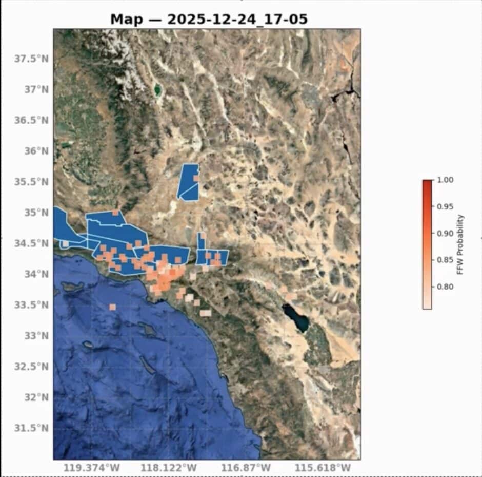
Testing proved TACLS performs reliably during real-world events. Simulations used data from Christmas week 2025 floods. TACLS generated flood warning probabilities displayed in red. National Weather Service warnings appeared in blue. The colors aligned closely across tested regions. This correlation demonstrated the system identifies genuine flood threats. TACLS outperformed traditional satellite imagery analysis consistently.
The system produces forecasts in as little as 15 minutes. Flash floods develop rapidly with minimal warning time. Meteorologists usually have only minutes before impact. Traditional forecasting requires hours of expert review. TACLS compresses this timeline dramatically by processing data autonomously.
Continuous learning represents another critical innovation. The system evolves as it processes new data. It refines predictions based on accumulated evidence. Static machine learning models degrade over time. TACLS adapts automatically to changing weather patterns. No manual adjustments become necessary. This adaptation proves critical as climate change intensifies extreme weather.
Pakistan should pursue technology transfer partnerships with NASA in this regard. Deploying TACLS-equivalent systems could reduce flood casualties dramatically. The data used to train TACLS is available to the public and free to download, allowing meteorologists to either tailor TACLS to better suit their research goals or create their own models for improving meteorologists’ ability to forecast severe weather. The system addresses Pakistan’s geographic and meteorological challenges, as the technology supports Pakistan’s disaster preparedness objectives.