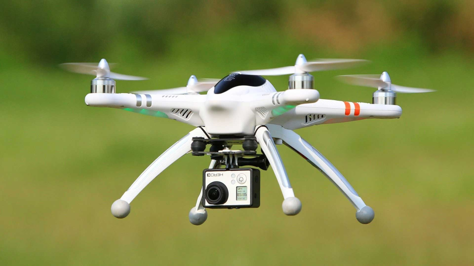
One of Pakistan’s leading educational institute, Government College University (GCU) Lahore is looking to train students about the modern drones and technology that powers them. GCU’s Department has conducted a national level workshop on “GIS Mapping through Drone Technology”.
The purpose of the workshop was to train students in Geographic Information System (GIS) mapping so that they can handle difficult drone flights and capturing the best aerial images.
In this workshop, the GCU hosted around 68 participants from various universities including Punjab University, LCWU and FCC University. In addition, the lectures and field surveys were conducted by Prof. Dr. Jamil H Kazmi from the University of Karachi on how students can use drones to perform various tasks which are difficult or time taking otherwise. Prof. also briefed the participants about remote sensing and 3D modeling of remotely sensed imagery.
Dr. Ali Iqtadar Mirza, Chairman of GCU’s Geography Department said that the workshop has enabled participants on handling the difficult drone flights and capturing the aerial images. “The workshop completed all the dimensions of drone applications in GIS mapping,” he concluded.
These days a number of sectors are benefiting from the use of drones, whether they are commercial, conservation or environmental works. In many sectors such as mining and quarrying, they save time and more importantly, they are a safer way of surveying structures, buildings or quarry faces. There is no need to put workers into hazardous or dangerous areas anymore.