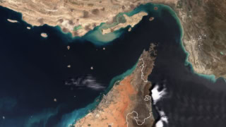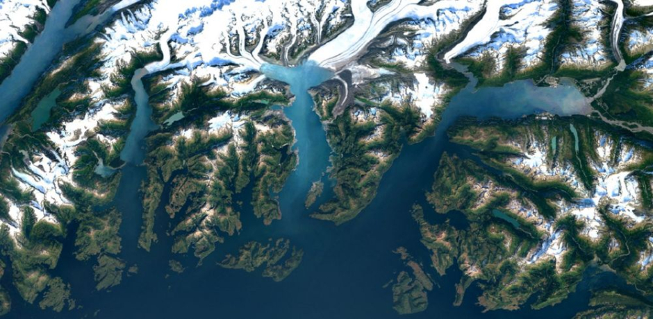
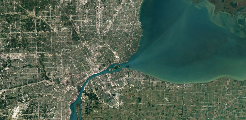
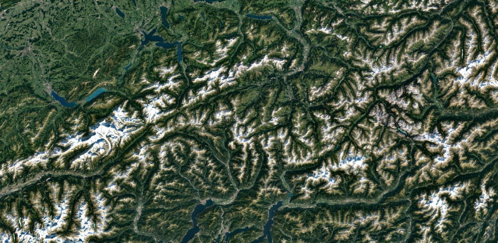
Google Maps and Google Earth just got a makeover with super sharp imagery. The applications have been updated using high-resolution images from NASA’s Landsat 8 satellite.
Those of you who have used Google’s Maps and Earth applications, you will know how murky those images can be. Google last updated its satellite imagery of the Earth back in 2013. That was done using the Landsat 7 which was suffered a hardware failure in 2003 and rendered it less powerful. Hence most of the images captured by it have resulted in some portions of the earth with diagonal missing gaps.
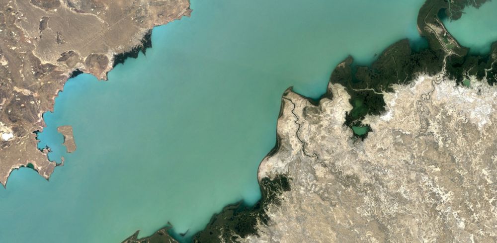
The Landsat 8 however, is its more powerful successor. Here’s an exhibit of the vast amount of improvement it brings with it.
This is an image of New York City taken with the Landsat 7.

And here’s the magic pulled off by Landsat 8.

Clearly, Landsat 8 trumps Landsat 7.
All these images are used by Google to form a cloud-free mosaic. That’s something you maybe have often wondered about. Google stitches together selective portions of the Earth with clear skies hence eliminating clouds or any other weather-related obstacles. This leaves them with a clear snapshot of the Earth. For this particular update, Google formed their mosaic by going through nearly a perabyte of data imagery from the Landsat – this accumulates to about 700 trillion individual pixels – until they found the best cloud-free pixels.
The update has been rolled out to Google Earth’s most recent version and Google Maps.